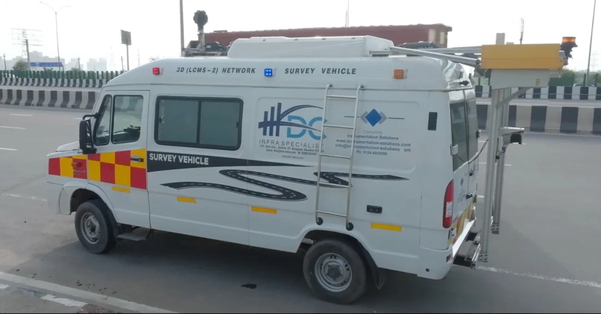
India’s National Highways are moving towards AI-backed road monitoring, with Network Survey Vehicles now being used to scan highway stretches faster and detect defects more systematically.
The Ministry of Road Transport and Highways said the vehicles are equipped with 3D laser-based systems, laser profilers, GPS and high-resolution imaging technology to capture road surface conditions and highway inventory data.
The system marks a shift from slower manual surveys to technology-led highway inspection. Earlier, road surveys could cover only 20 km to 80 km in a day. With the new Network Survey Vehicle system, surveys can now cover up to 300 km daily.
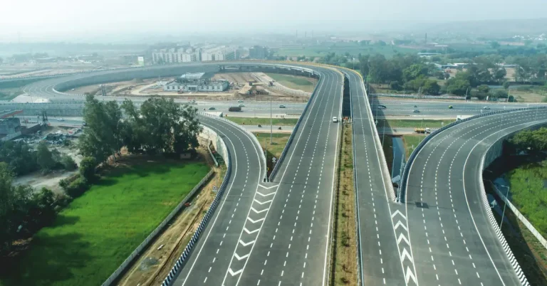
The ministry said the vehicles are being deployed across National Highway corridors in different states to identify potholes, cracks, uneven patches and other surface defects.
The data collected during surveys is sent to a centralised NSV centre within 48 hours. Expert teams deployed across five zones then monitor and report the findings.
Read also: UP partners with CSIR-CRRI to roll out road dust control, urban road greening framework in NCR
The ministry said raw survey data can now be converted into actionable insights within 10 days, compared with the earlier process that took around four to six months.
Once the findings are validated, notices are issued digitally to stakeholders through online platforms. The process is aimed at reducing manual intervention and improving accountability in highway maintenance.
The survey data is also uploaded to NHAI’s AI-based Data Lake portal, allowing expert teams to analyse road condition data and support repair decisions.
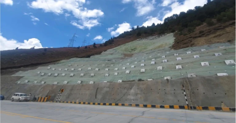
The surveys will cover two-lane to eight-lane National Highways across different terrains, including freight-heavy corridors, traffic-dense stretches and weather-prone areas.
The ministry said these surveys will be conducted at regular six-month intervals.
A mobile application has also been developed for site inspectors.
Through the app, officials can view NSV findings in real time, upload geo-stamped photos, add comments during inspections and track rectification work at the site.
The ministry said the new framework does not stop at identifying defects. Maintenance agencies will remain accountable until reported issues are fully rectified.
The move is expected to strengthen road asset management, speed up defect identification and improve maintenance response across India’s National Highway network.