New Delhi, October 13, 2026: The India Meteorological Department (IMD) has introduced a public online platform that brings together cyclone warnings, storm forecasts and marine weather information on interactive maps. The system allows the public and disaster management authorities to view predicted cyclone paths, wind conditions, rainfall warnings and storm surge risks, making it easier to understand potential weather hazards and prepare for emergencies.
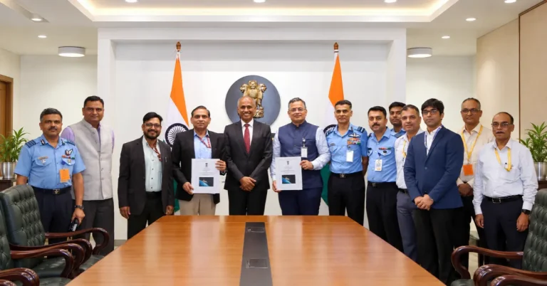
The Cyclone Warning and Marine Weather Services Decision Support System (DSS) was dedicated to the nation on October 12 during a pre-cyclone preparedness meeting organised by IMD. According to the Ministry of Earth Sciences, the web-based platform is intended to make complex weather information more accessible to government agencies, disaster management teams and the public.
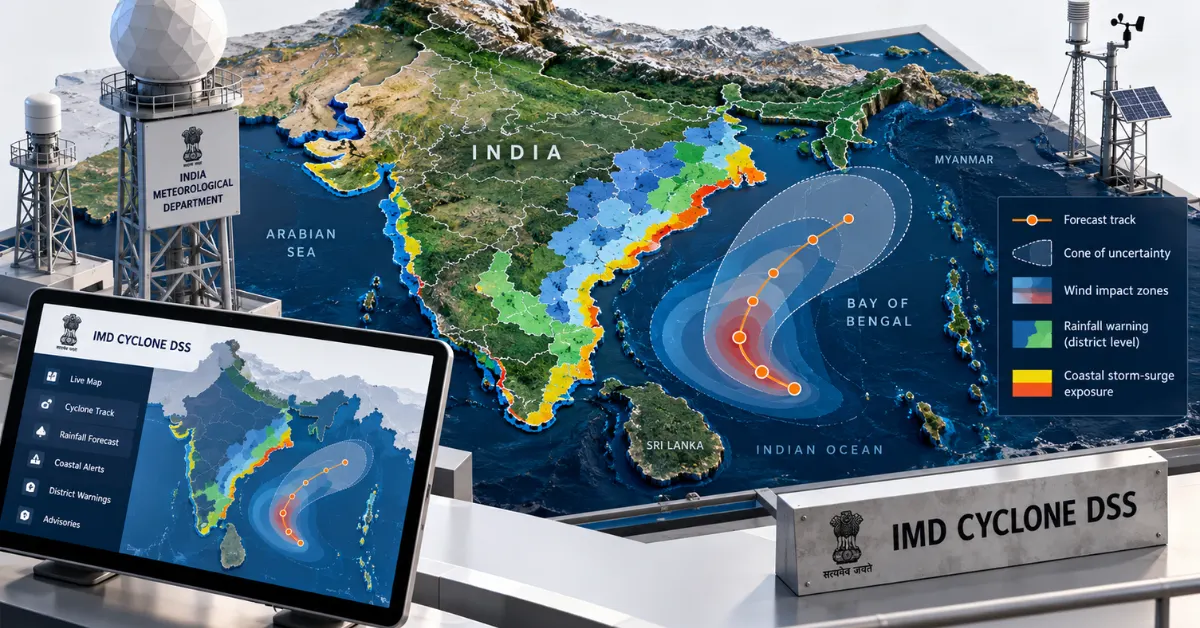
The system uses Web Geographic Information System (WebGIS) technology to display weather information on interactive digital maps. Users can view observed and forecast cyclone tracks, expected storm intensity, wind patterns, district-wise rainfall warnings and storm surge information. A storm surge is an abnormal rise in sea level caused by a storm, which can contribute to flooding in low-lying coastal areas.
One of the platform’s features is the display of a cyclone’s predicted path alongside a cone of uncertainty. This indicates the possible range of locations of a cyclone’s centre as it moves along its forecast path. However, areas outside the cone may still experience strong winds, heavy rainfall and other dangerous weather conditions.
The platform also provides district-wise rainfall warnings and forecasts for river catchment areas, where rainwater drains into rivers and streams. This information can help disaster management authorities identify locations that may require closer monitoring and prepare for potential flooding and other weather-related hazards.
According to IMD, the platform is designed to make technical forecasts easier to interpret and use. By presenting cyclone tracks, wind distribution, rainfall forecasts and storm surge warnings visually, it aims to support more informed decisions by authorities responsible for disaster preparedness and response.
The new system was unveiled during IMD’s biannual Pre-Cyclone Exercise Meeting for the October–December 2026 post-monsoon cyclone season. The meeting was chaired by Dr Mrutyunjay Mohapatra, Director General of Meteorology at IMD and Third Vice-President of the World Meteorological Organization.
The meeting brought together approximately 230 participants from more than 30 organisations, including 180 joining online and 50 attending in person. Representatives from government departments, disaster management agencies and organisations involved in maritime operations reviewed preparedness measures for the approaching cyclone season.
Participants discussed progress on recommendations from previous meetings, operational challenges in communicating weather warnings and ways to improve coordination among agencies. The meeting also included a live demonstration of the new platform, allowing stakeholders to examine its features and provide feedback on its potential use.
IMD has been organising pre-cyclone exercise meetings twice a year since 2008 to strengthen coordination among weather forecasters, disaster management authorities, defence forces, state governments and other organisations. These exercises are intended to improve preparedness and ensure that cyclone warnings are communicated and used effectively.
The October 12 launch coincided with the anniversaries of two major cyclones that affected India’s eastern coast. Very Severe Cyclonic Storm Phailin crossed the coast on October 12, 2013, while Very Severe Cyclonic Storm Hudhud made landfall on October 12, 2014. IMD cited its forecasting of both storms as important milestones in the country’s cyclone early-warning capabilities.
The Cyclone Warning and Marine Weather Services DSS is accessible through the official IMD website and the Regional Specialised Meteorological Centre’s website. Users can also access the platform directly at https://dss.imd.gov.in/dwr_img/GIS/marine.php.
The Ministry of Earth Sciences said the platform is intended to improve public access to cyclone and marine weather information and support timely decisions during severe weather events. The system provides forecasts and warnings about potential hazards rather than confirmation that predicted storms, rainfall or coastal flooding have already occurred.