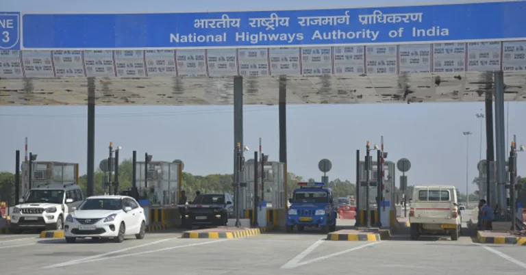

The National Highways Authority of India (NHAI) on Friday, 17 April, said that the Delhi-Dehradun Economic Corridor is now integrated with major navigation platforms, including Google Maps, MapMyIndia and the Rajmargyatra App, enabling commuters to access real-time route guidance and plan journeys more efficiently.
“The Delhi-Dehradun Economic Corridor route is available on Google Maps, MapMyIndia, and the Rajmargyatra App, making travel planning easier and more efficient than ever. With real-time navigation and accurate route guidance, commuters and tourists can now experience faster, smoother, and more reliable journeys along this modern corridor,” the NHAI said in a statement on X.
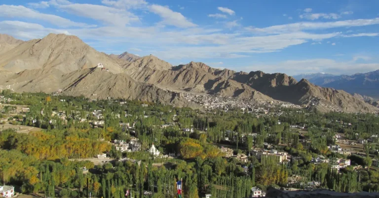
The update comes just days after the inauguration of the Delhi-Dehradun Expressway, a 213 Km, six-lane, access-controlled corridor built at a cost of over ₹12,000 crore, which reduces travel time between Delhi and Dehradun from around 6 hours to nearly 2.5 hours.
Designed as a high-speed economic corridor, the expressway traverses through the states of Delhi, Uttar Pradesh and Uttarakhand, connecting key nodes such as Baghpat, Shamli and Saharanpur, while also integrating with other major highway networks to improve regional mobility.
Implementation of the project also included the construction of 10 interchanges, three Railway Over Bridges (ROBs), four major bridges and 12 wayside amenities to enable seamless high-speed connectivity.
Starting near Akshardham in Delhi, the expressway passes through Baghpat, Baraut, Muzaffarnagar, Shamli and Saharanpur before terminating in Dehradun.
It also includes an under-construction spur towards Haridwar and integration with the Char Dham Highway network, strengthening access to major pilgrimage destinations.
A key feature of the project is a 12 Km elevated wildlife corridor near Rajaji National Park, the longest of its kind in India, along with multiple animal underpasses and dedicated elephant crossings to ensure safe wildlife movement.
The corridor is equipped with an Advanced Traffic Management System (ATMS) to provide a safer and more efficient travel experience for commuters.
Keeping in view the ecological sensitivity, rich biodiversity and wildlife in the region, the corridor has been designed with several features aimed at significantly reducing man-animal conflict.
The corridor also includes eight animal passes, two elephant underpasses of 200 metres each, and a 370 metre long tunnel near the Daat Kali temple.
Read also :