The Great Nicobar Project is a large-scale infrastructure initiative of the central government to develop Great Nicobar Island into a strategic maritime and economic hub, located about 40 nautical miles from the East-West international shipping route.
India currently routes a significant share of its container cargo through foreign transshipment hubs such as Colombo, Singapore and Klang due to the absence of deep-draft domestic ports. The project aims to enable a part of this cargo to be handled within India, while also strengthening national security and defence presence in a strategically sensitive region.
Core Infrastructure And Components
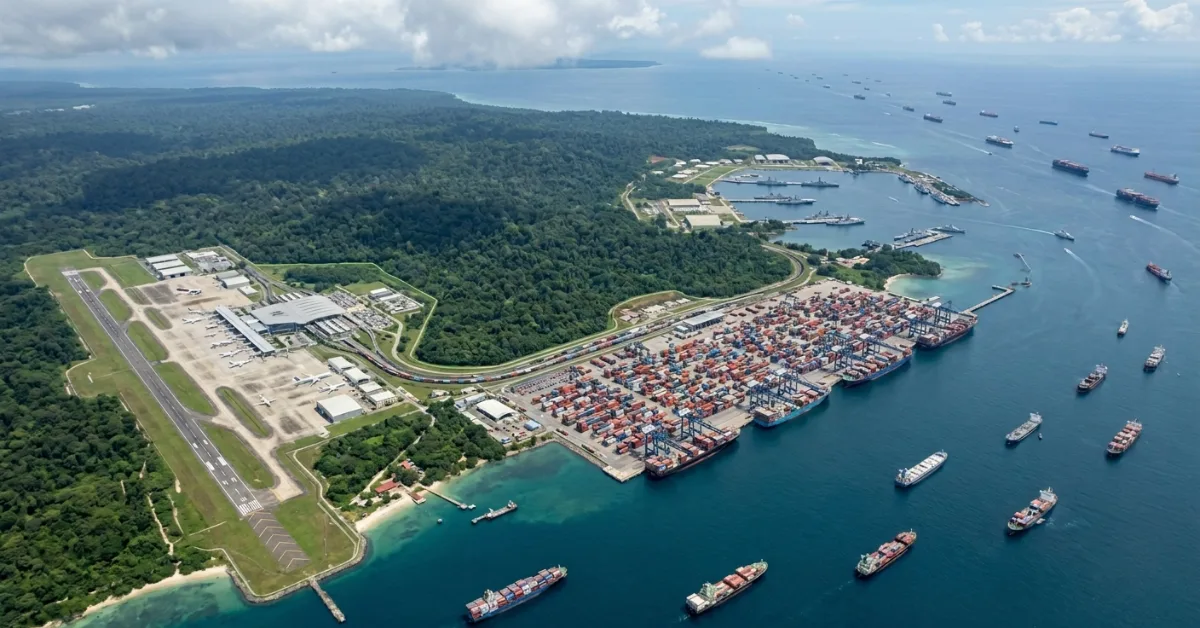
At the centre of this plan is the International Container Transhipment Terminal (ICTT) at Galathea Bay, planned with a capacity of 14.2 million TEU (Twenty-Foot Equivalent Units) and supported by natural water depths exceeding 20 metres to handle large container vessels.
Alongside the ICTT, the project includes a greenfield international airport with a capacity of 4,000 peak hour passengers (PHP), a planned township spanning 16,610 hectares, and a 450 MVA gas and solar-based power plant to ensure reliable electricity supply.
The airport is expected to handle around 1 million passengers annually at opening and scale up to approximately 10 million passengers per year over time, compared to around 1.8 million passengers currently handled by Port Blair airport.
Phased Development And Land Use
The project is being implemented in three phases between 2025 and 2047, covering a total development area of 166.10 sq km.
The first phase, spanning 2025 to 2035, covers 72.12 sq km, followed by the second phase between 2036 and 2041 covering 45.27 sq km, and the final phase from 2042 to 2047 adding another 48.71 sq km.
Of the total area, 35.35 sq km is revenue land and 130.75 sq km is forest land.
Environmental And Tribal Safeguards
The project involves diversion of 1.82 per cent of the total forest cover of the Andaman and Nicobar Islands.
The total estimated number of trees in the affected area is 18.65 lakh, with a maximum of 7.11 lakh trees expected to be felled across 49.86 sq km in a phased manner, while 65.99 sq km has been designated as green zones with no tree felling.
Since the islands already have over 75 per cent forest cover, compensatory afforestation is planned outside the region, with 97.30 sq km identified in Haryana.
The project has received environmental clearance under the EIA Notification, 2006, with 42 compliance conditions.
The island is inhabited by about 237 Shompen and 1,094 Nicobarese individuals, and no displacement of these communities is proposed.
Out of the 166.10 sq km project area, 84.10 sq km overlaps with tribal reserve land, of which 11.032 sq km has already been under revenue use since 1972.
The remaining 73.07 sq km is proposed for de-notification, while 76.98 sq km will be re-notified as tribal reserve, resulting in a net increase of 3.912 sq km.
Strategic And Risk Context
Strategically, the project is aimed at strengthening India’s presence in the Indian Ocean Region, improving maritime logistics efficiency, and reinforcing national security and defence capabilities in a region critical to global shipping routes.
The project area lies in a seismically sensitive and cyclone-prone region, and includes a disaster management framework covering tsunamis, earthquakes, cyclones and industrial risks.
Read also: India plans ₹51,383 crore maritime expansion with 62 new vessels in FY27